After a long, hot summer, B.C. residents have gotten used to all kind of weather statements and air quality advisories.
But on Sunday a different kind of statement has been issued — one warning of snow and cold.
"We expect the first taste of winter at higher elevations tonight and Monday morning in central and southern B.C." it said.
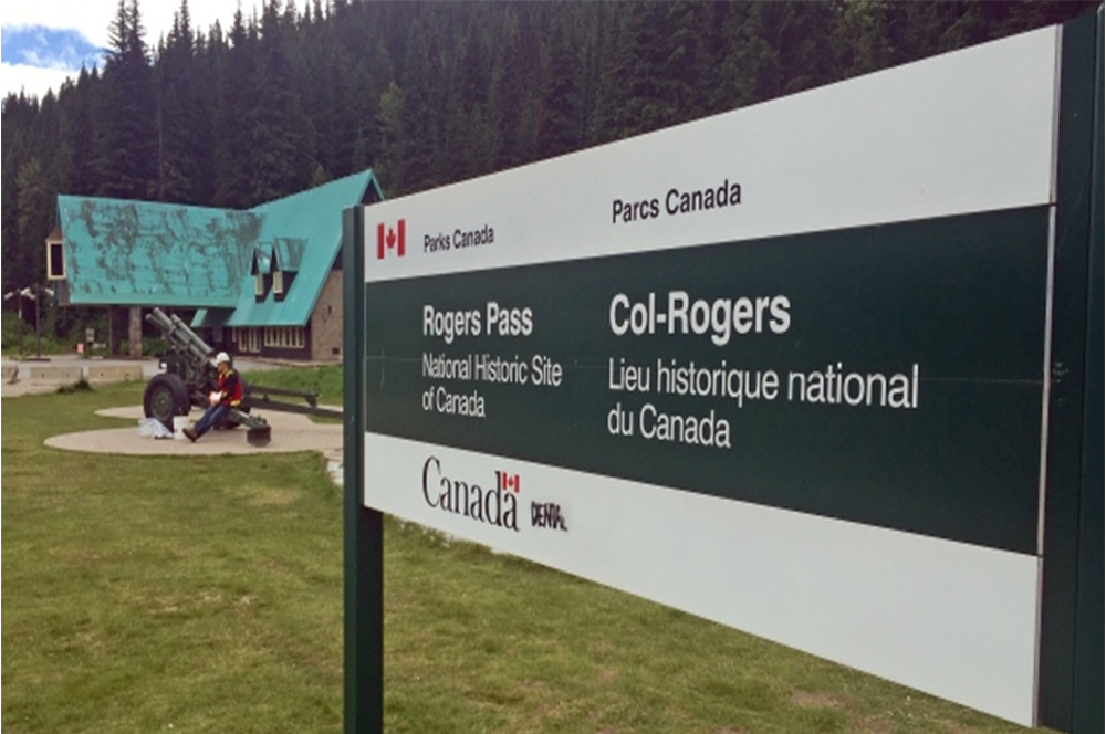
According to the statement a cold front will arrive Sunday night over the Coquihalla and Rogers Pass regions, and move toward Kootenay Pass by Tuesday morning, with cold temperatures hanging around until next week.
The statement warned that some flakes could be seen over mountaintop elevations in the next few days, but is unlikely to impact travellers, other than changing their view.
At most, a few centimetres of snow can be expected on the roads, but with road temperatures still warm from the summer, it's not expected to stick.
However, with the possibility of snow in mind, people travelling over high elevation are still advised to prepare for winter driving conditions.
B.C.'s state of emergency over a historic wildfire season ended on Friday at midnight.